Resources
Downloadable Documents
CASE STUDIES
-
-
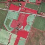
- Thomas Jefferson’s Monticello
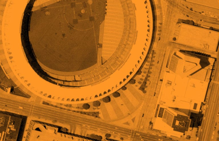
- Houston-Galveston QC
- North Kansas City 3D Mapping
- Des Moines Lidar
- USACE Upper MS River
- 3DEP Lidar in Nebraska
- Fall Colors Imagery
- USGS South Central Texas
- I-55 DOT project
- USACE Coralville Lake
- DOT projects
- Oil and Gas
- Closing Abandoned Mines
- Southwest Florida Water Management District
- Solar Farm Mapping Project
- USGS Becker County, MN
-
PLANNING YOUR MAPPING PROJECTS
-
-
- Getting Value from Your Ortho Projects
- Designing a Project
- Testing Horizontal Accuracy: Ensuring Your Data Will Serve Your Needs
- Testing Vertical Accuracy: Ensuring Your Data Will Serve Your Needs
- Topographic Mapping with UAS
- What Ortho Resolution is Right for Me
- Picking the Right Lidar Density
- First Steps After Award
- Public Entities Teaming Up
- ALTA Mapping for Solar Farms
-
DISASTER MAPPING
RESOURCES
-
-
- Aerial Mapping – Surdex, a Bowman company overview
- Surdex Product Deliverables
- One Size Does Not Fit All – Surdex Custom Ortho Benefits
- SurCheck Online Image Inspection Tool
- Flight Tracker
- Using In-House Software (Group Tool) for Lidar Processing
- Project Management
- Surdex Aircraft
- Surdex Sensors
- Aircraft Maintenance
- Contingency Plans
- Cross Training
- Data Management
- Obtaining Federal Funds for Elevation Data – BAA Grants
-