Digital Mapping
Intelligent Data Makes Intelligent Maps
Digital mapping systems contain embedded intelligent data, which can be visually interpreted by the user. This data, as a part of a Geographic Information System, can serve many applications.
Data can be attached to geographic features to develop a dynamic map with a storehouse of valuable information, quickly and easily accessible through GIS software. Typical examples of applications include:
- Utility companies cataloging their infrastructures
- Assessors using mapping for property assessment and taxing purposes
- Engineers using data to aid in building projects
As with digital orthoimagery and lidar, rigorous QA/QC processes are employed throughout the mapping process.
Mapping Types
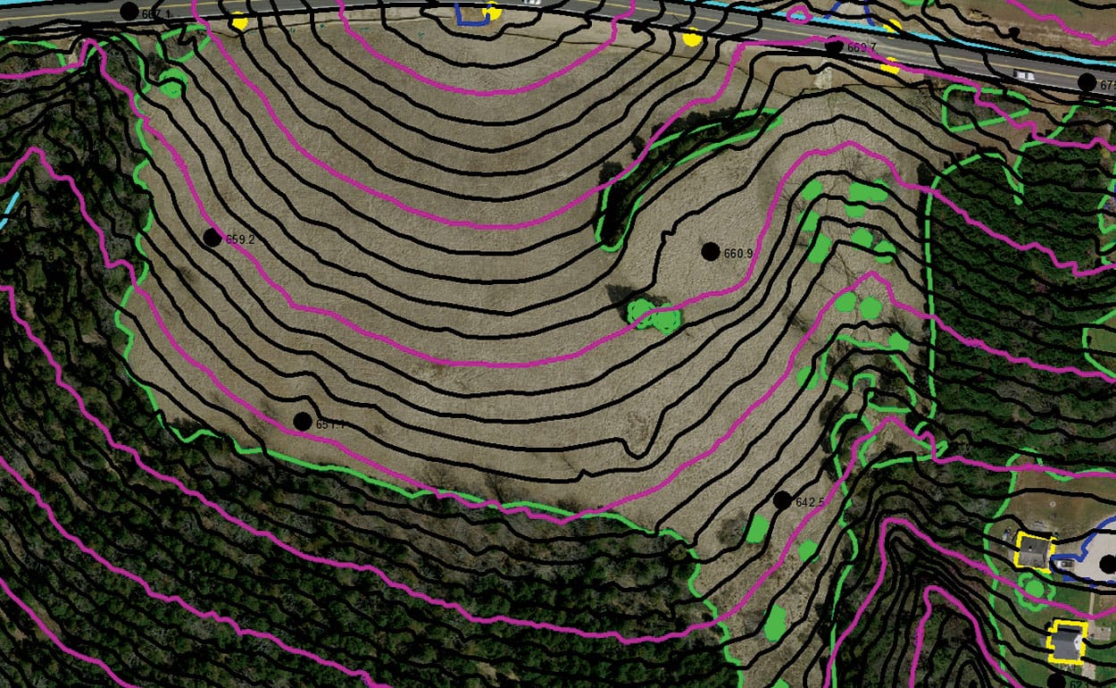
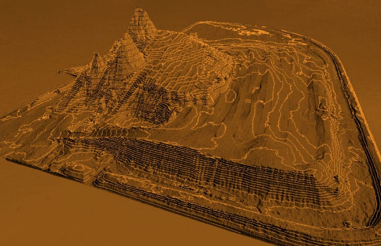
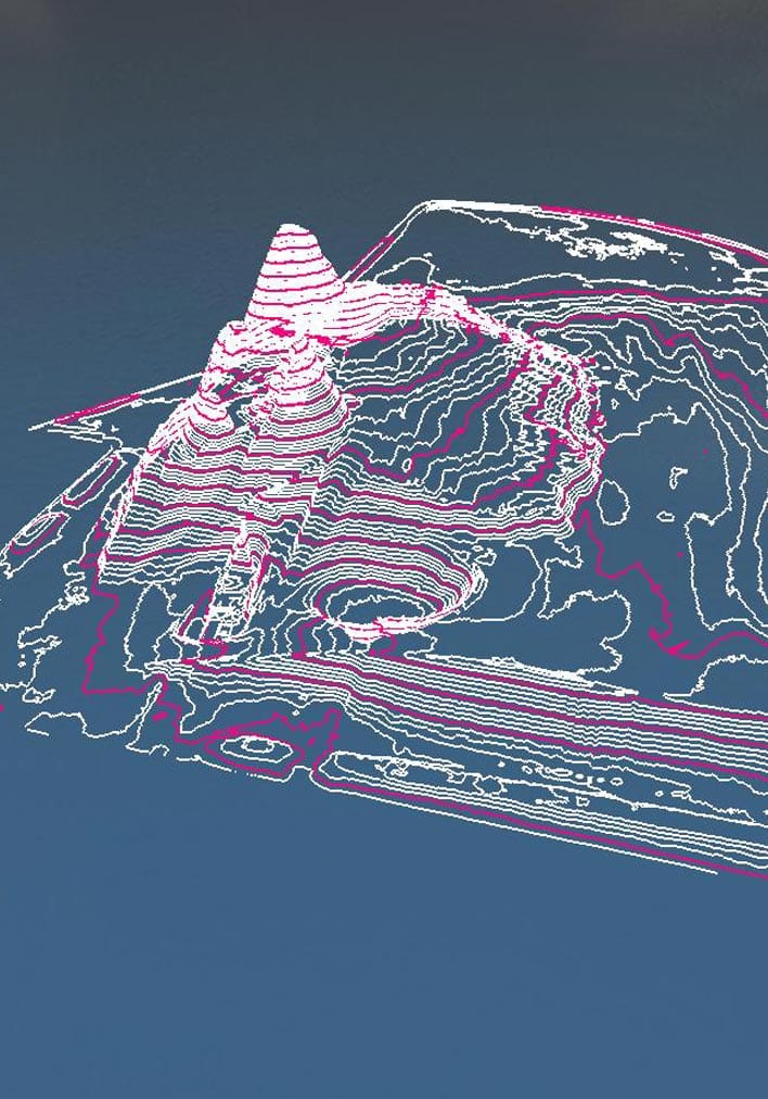
Topographic Maps
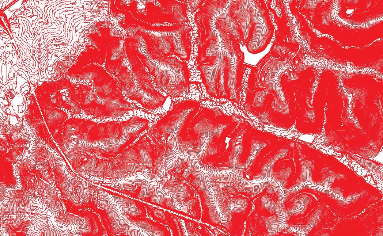
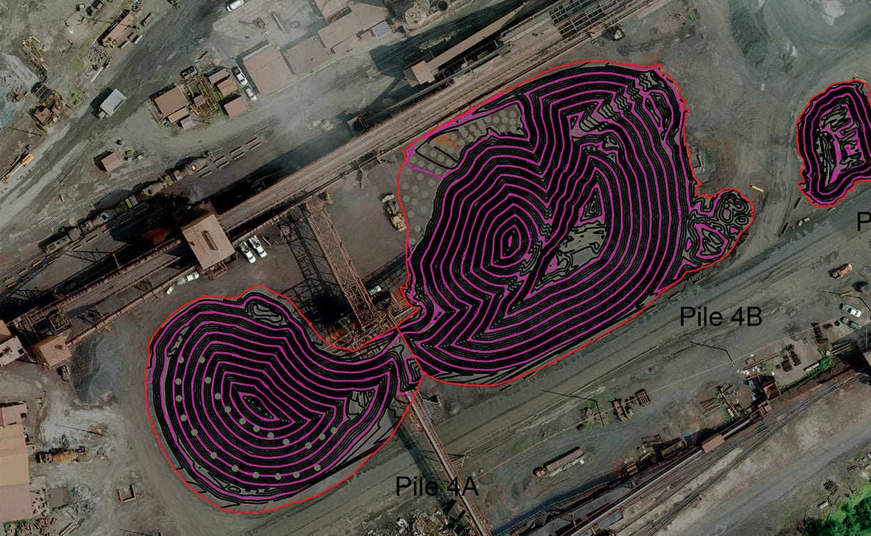
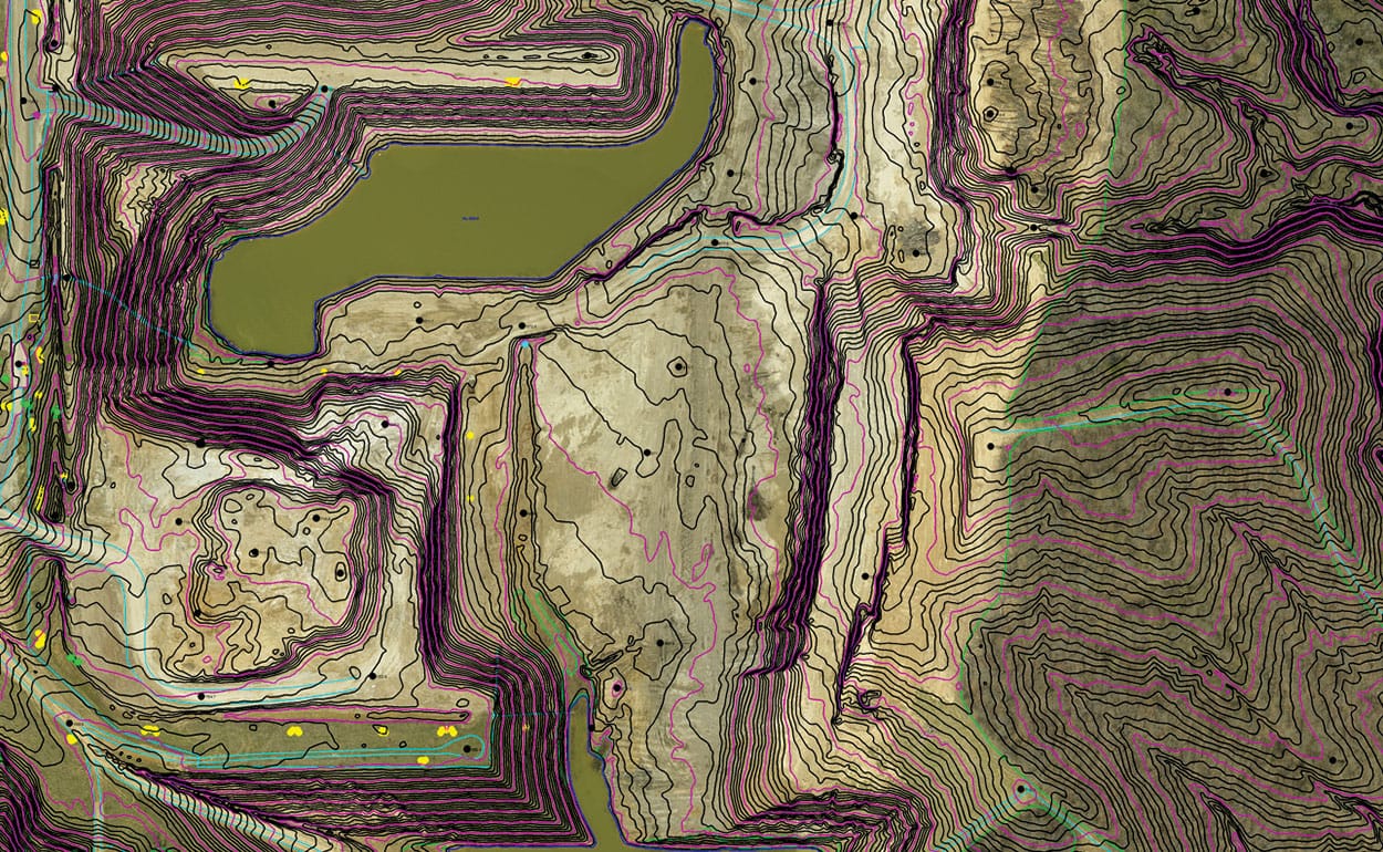
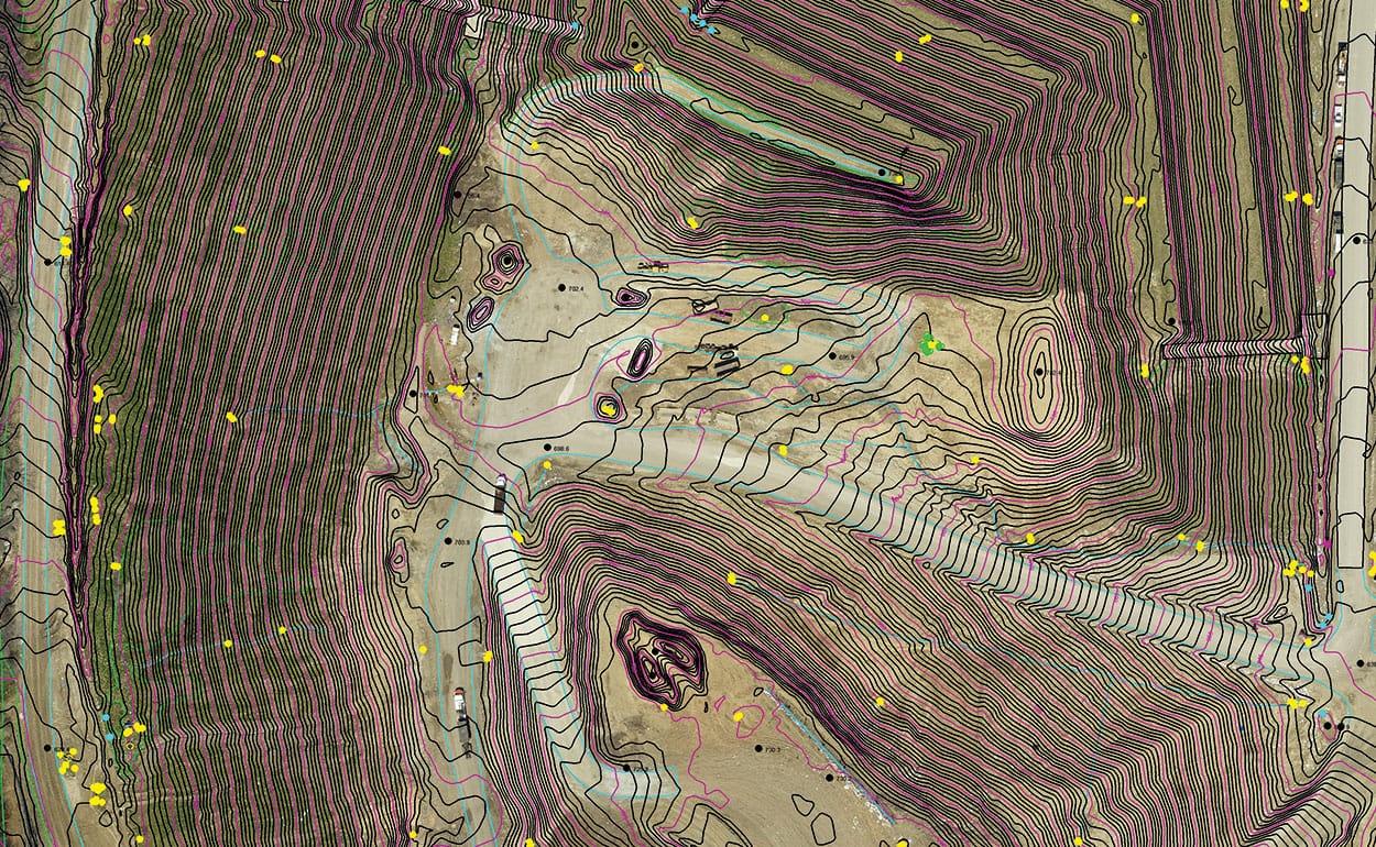
Topographic maps depict the three-dimensional shape of the Earth’s surface with contour lines at specific elevation intervals to display the shape of terrain (or relief) for both natural and man-made features.
Contour intervals are determined based on a client’s specific needs. The smaller the contour interval, the more precisely the map reflects the terrain.
Typical uses of topographic maps include:
- Natural resource conservation
- Environmental management
- Public works design
- Commercial and residential planning
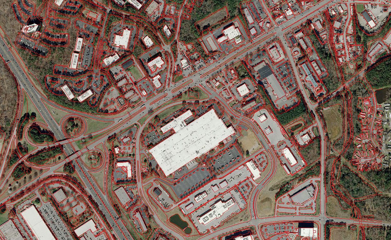
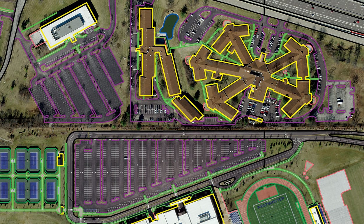
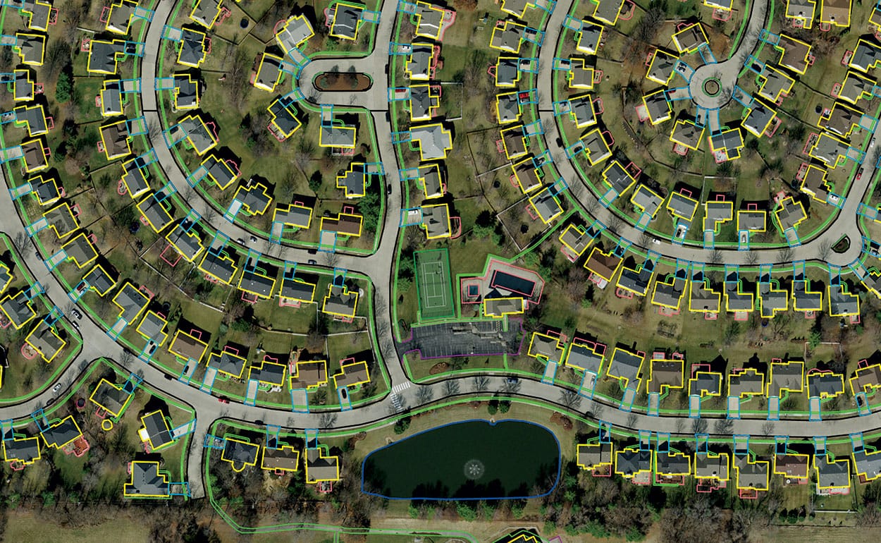
Planimetric Maps
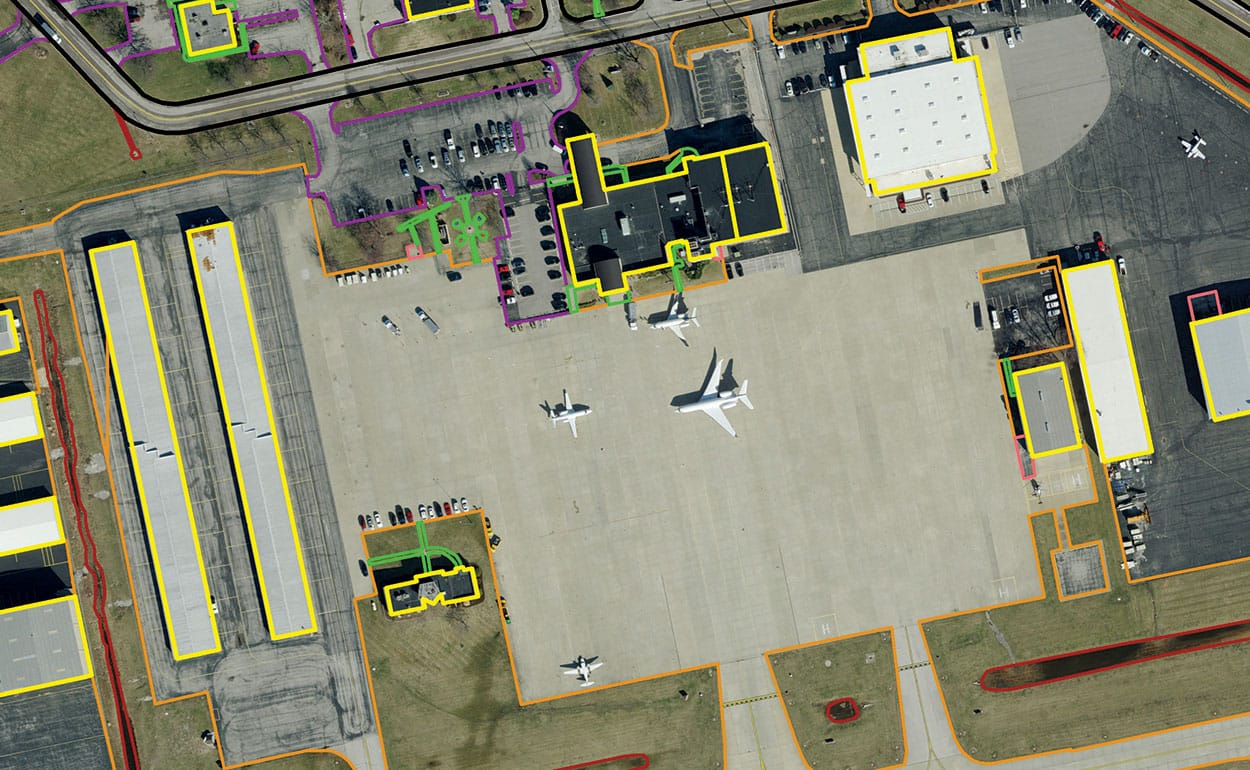
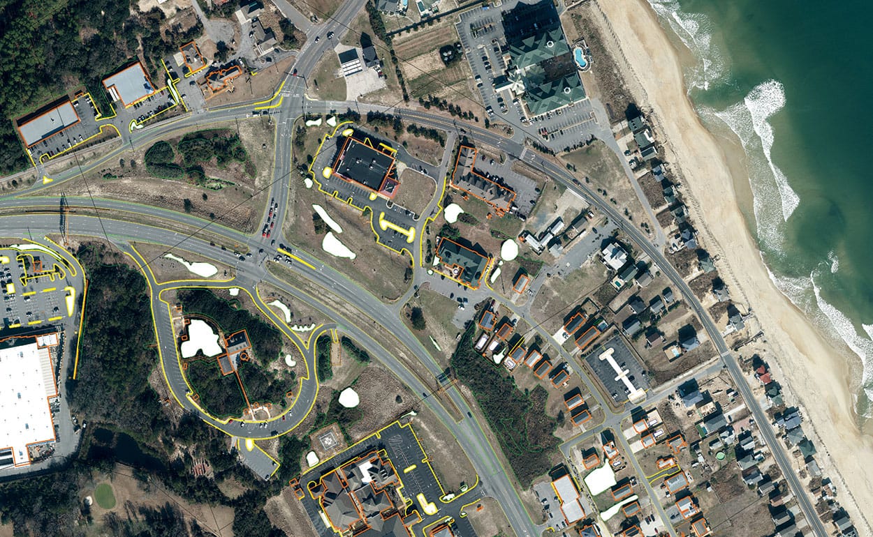
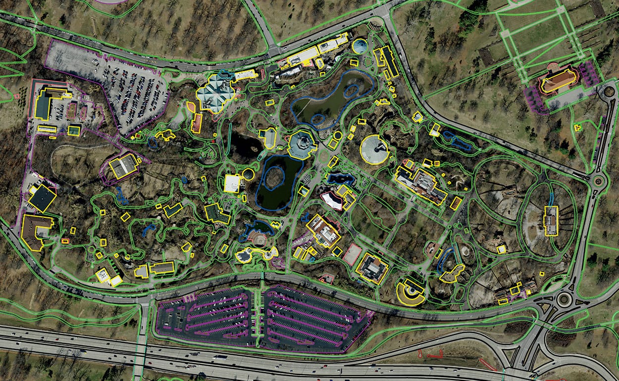
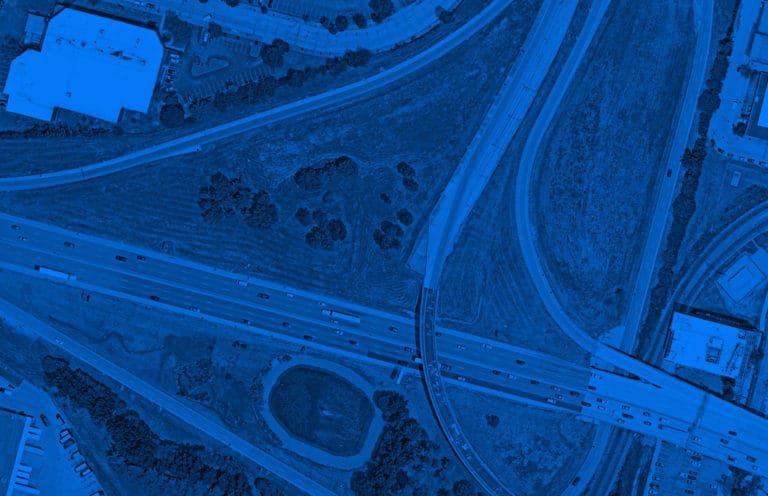
Planimetric maps consist of lines drawn around both man-made and natural features. These features are extracted from aerial photography—anything visible in the imagery can be digitized.
Typical items found in planimetric maps include:
- Building footprints
- Sidewalks
- Street and curbs
- Impervious surfaces
- Utility lines
- Vegetation
Topographic Mapping from UAS
While Surdex focuses on large area acquisition and processing, we do own Unmanned Aerial Systems (UAS) for smaller, select projects. Download this PDF to read more about topographic mapping with UAS.
Process Details
Feature Collection
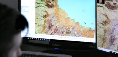
Technicians use inspection grids to systematically step through the entire project area capturing new features, updating existing features and retiring features no longer visible in the imagery. Having skilled technicians systematically review the entire project area is the only method that produces a quality product. This method allows an operator to review the data at the correct mapping scale and enables the identification of small changes that occur on individual features.

Change Detection
It is particularly useful for clients to identify areas of significant change quickly and easily. The new orthoimagery is loaded into the system along with the existing imagery, and tools will reveal areas of change such as:
- Building additions
- Decks
- Swimming pools
- Roads
- New construction
- Demolished buildings
This process identifies rudimentary areas of change, where updates are required.
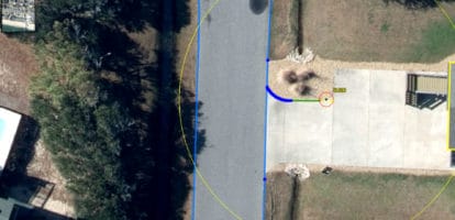
Vector Processing
Vector processing utilizes both automated and manual processes. Automated routines include running several geoprocessing tasks to prepare the dataset for topological tests. After the dataset has been run through these automated processes, it is ready for topological processing. The Surdex team will start with the topology rules provided by the client and ensure rules are followed by all feature classes.
Additionally, the team ensures that the correct cluster tolerance is applied when the topology is created. Then, the topology is validated by finishing technicians, who will correct all topology errors.
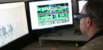
Quality Control
Surdex employs thorough QA/QC steps throughout the production of mapping products.
- In the automated process, automatic Quality Control batch editing is employed using user-defined support files that guide the editing processes
- In the manual process, senior finishing analysts perform quality checks on all feature classes within the geodatabase and review the data for completeness and accuracy
A visual validation process involves the technician viewing and checking the mapping data. For this validation process, the technician confirms that the mapping data meets all project specifications.
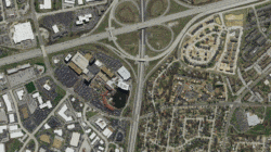
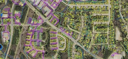
Digital Mapping Samples