Lidar
What is lidar?
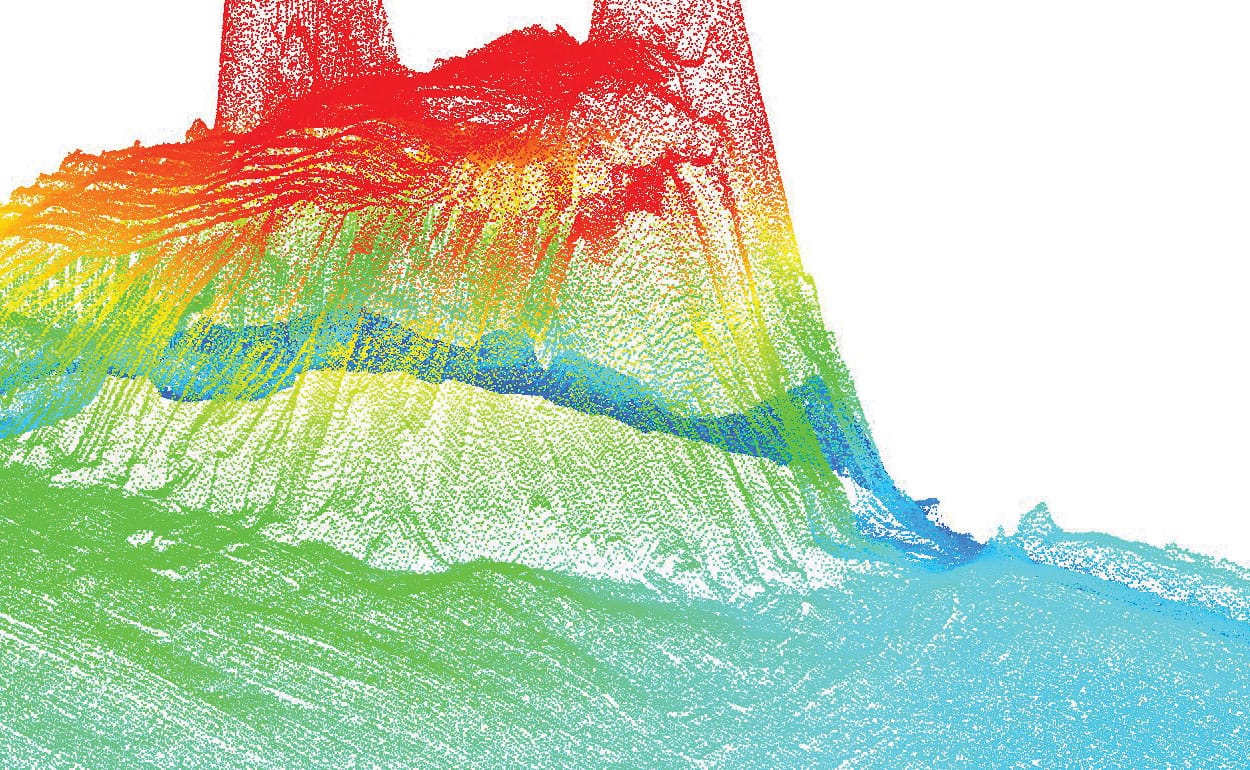
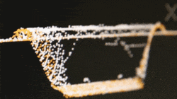
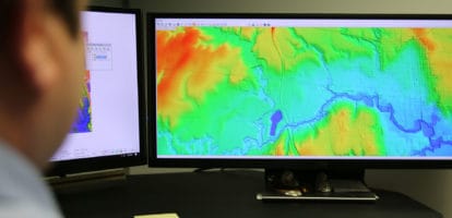
Lidar (Light Detection And Ranging) is a technology that captures three-dimensional information about the Earth’s surface. Pulses of light are sent from the sensor to the ground, and the time it takes for that pulse to encounter a feature and return to the sensor allows for an exact measurement of distance. That distance and the airplane’s precise location as measured by a GPS are combined to create the lidar point cloud.
Lidar is a fast and efficient way to gather accurate information about a project area. Each project is tailored to fit the client’s needs depending on the intended uses of the data.
Read more about how to select the lidar density to meet your needs.
Learn how our proprietary processing software, Surdex Group Tool, improves production speed and efficiency.
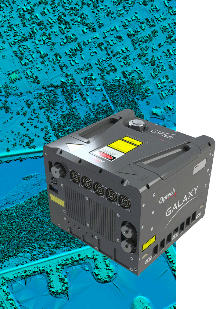
Teledyne Optech Galaxy PRIME LiDAR System
One of the most advanced and efficient lidar sensors available, the Teledyne Optech Galaxy Prime sensor uses innovative lidar technology enhancements and incorporated flight and calibration software that significantly increases sensor performance and collection efficiency. These advancements directly tie into savings for customers.
- The SwathTrak feature allows the sensor to adjust the field of view during collection so that the width of the swath is consistent over varied terrain
- In areas of extreme relief, the sensor can achieve as much as a 40% reduction in the number of flight lines
- The PulseTrak feature allows for the collection of consistent data
The Galaxy Prime provides consistency between adjacent points – on flat surfaces the variability of the points’ elevation is minor, allowing for a greater confidence in the accuracy of the data.
Read more about our sensors.
Process Details
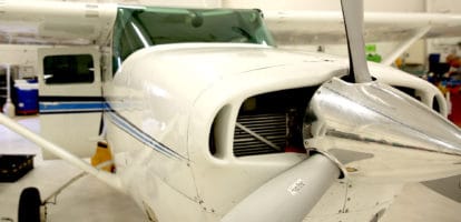
Fleet
With several single-engine aircraft suitable and available for lidar collection, and twin-engine aircraft in reserve, Surdex has the capacity and flexibility to overcome a variety of unforeseen challenges during the acquisition window that would otherwise potentially delay project schedules.
Optimizing Acquisition Efficiency
Surdex actively monitors each project area to ensure optimal collection conditions, both in the air and on the ground. With numerous aircraft, we can shift airborne collection resources from areas of poor visibility to other project areas with clear acquisition conditions. This flexibility ensures our clients that we are taking advantage of every window of opportunity.
LiDAR System
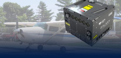
Surdex owns three Optech Galaxy Prime lidar sensors, one of the most advanced and efficient sensors available today. It uses innovative lidar technology enhancements and incorporated flight and calibration software for significantly increased sensor performance, collection efficiency, improved data quality, and a simplified collection process.
Quality Control
Surdex incorporates QC measures to ensure uniform point density and spacing and that the data meets specifications. Our initial inspection happens 2-4 days after collection to verify that collection was successful; any anomaly requiring re-flight is scheduled as soon as possible following the original acquisition to minimize temporal differences and ground conditions between lifts.
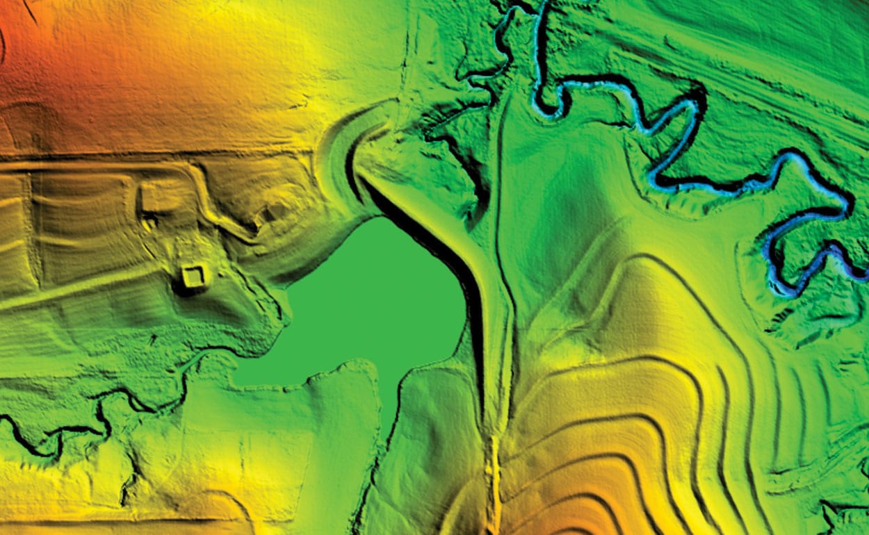
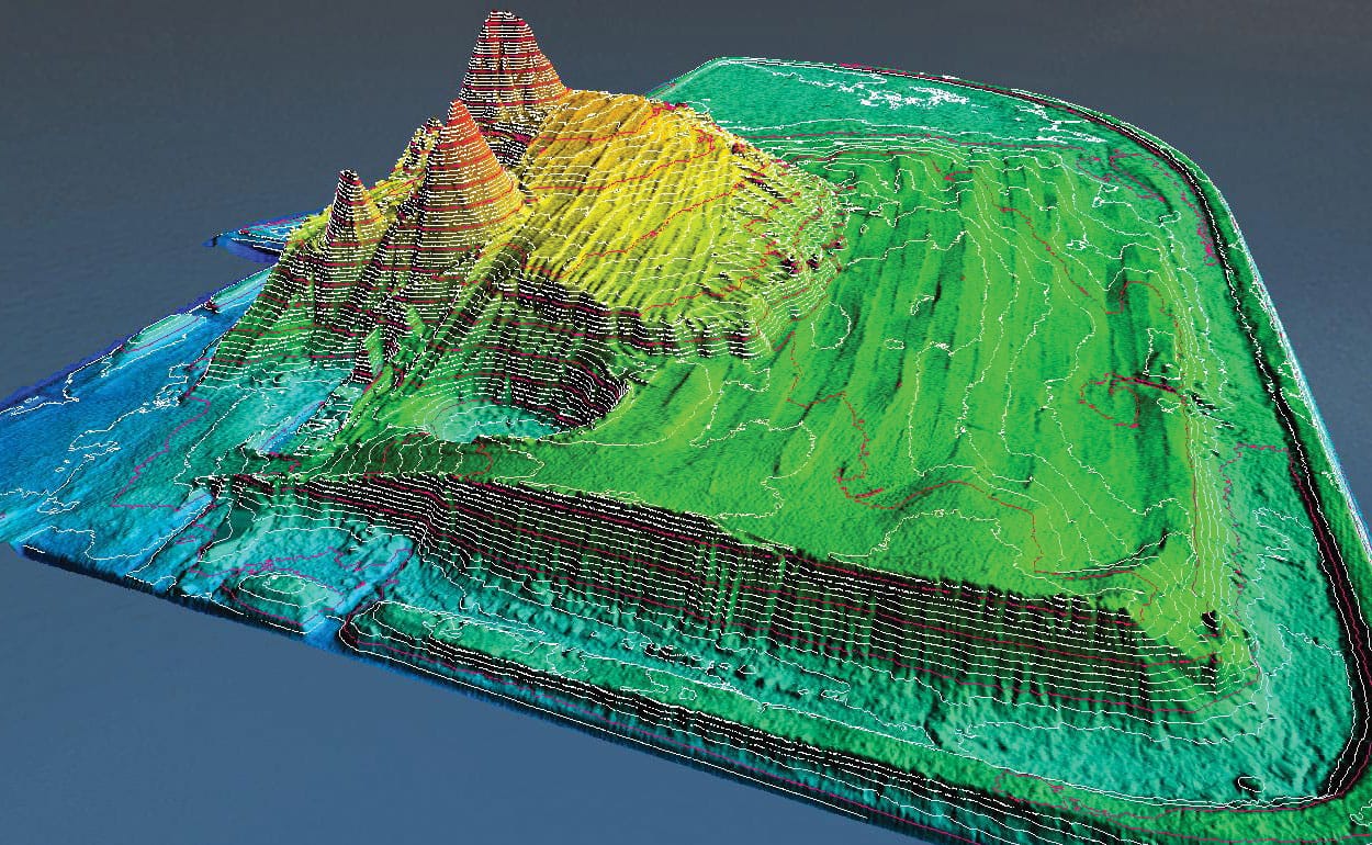
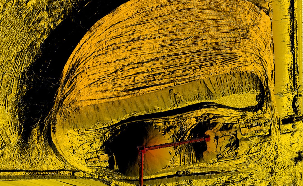
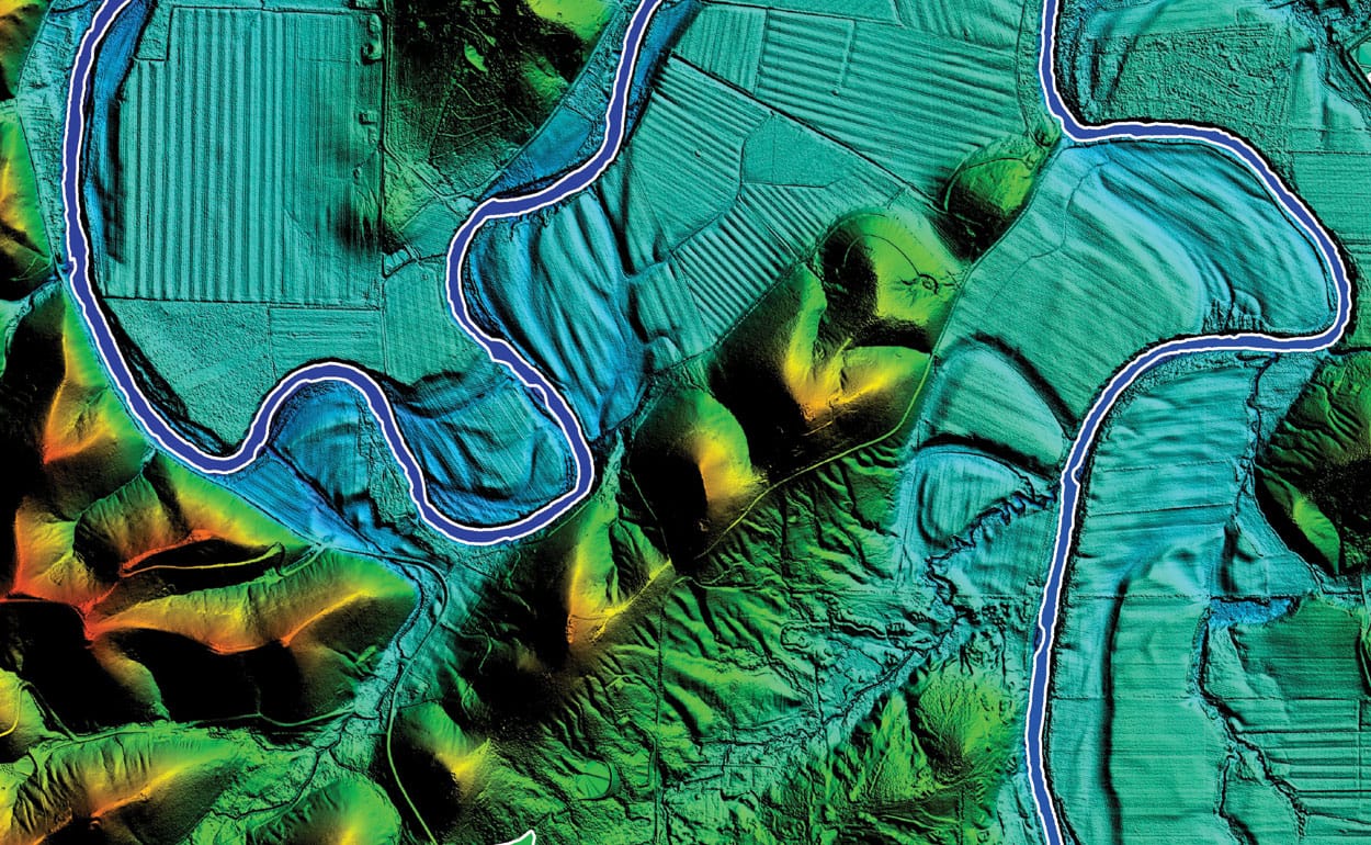
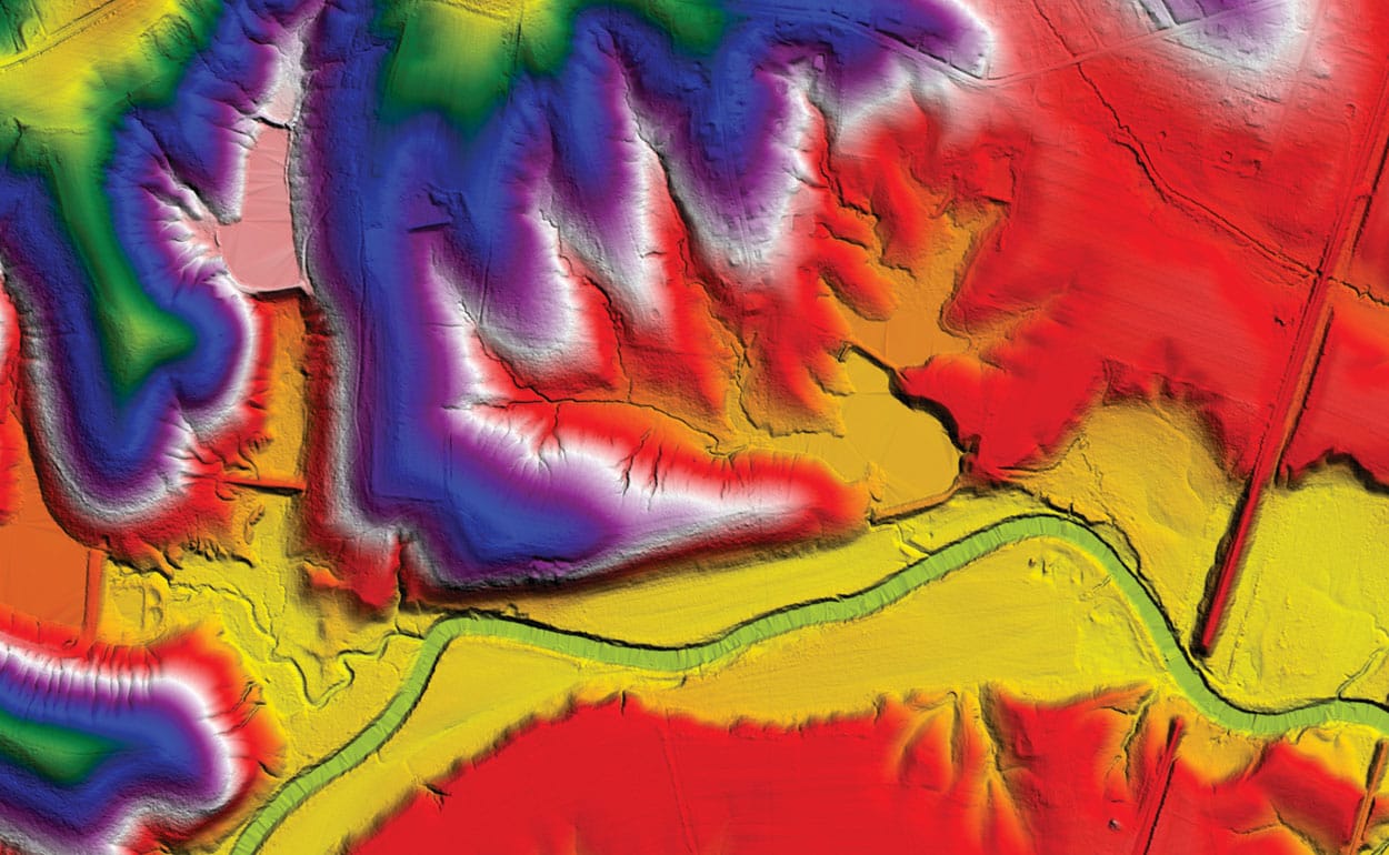
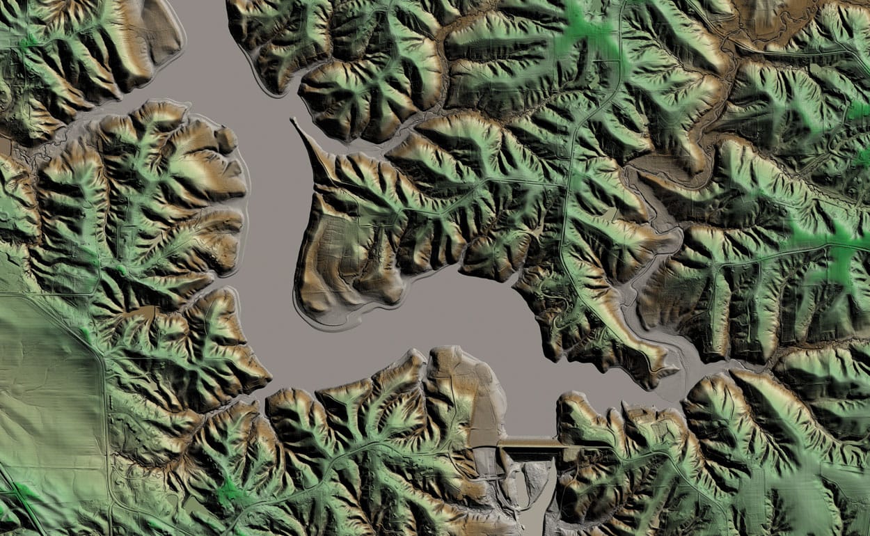
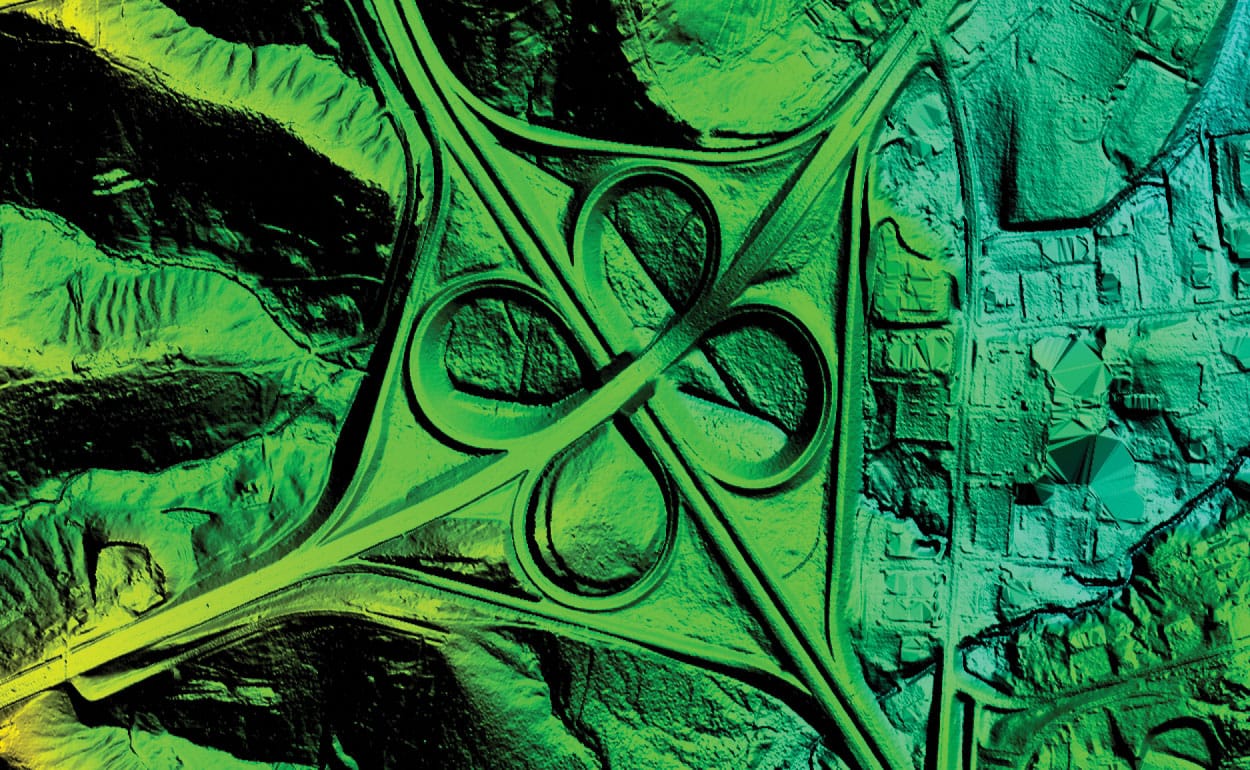
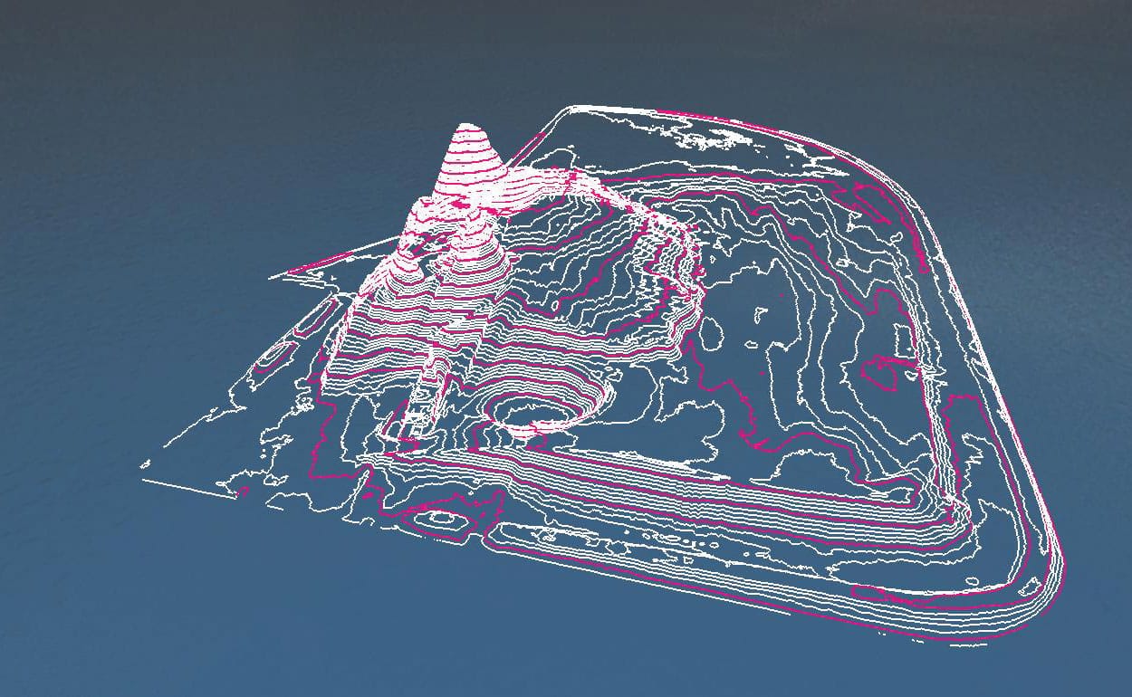
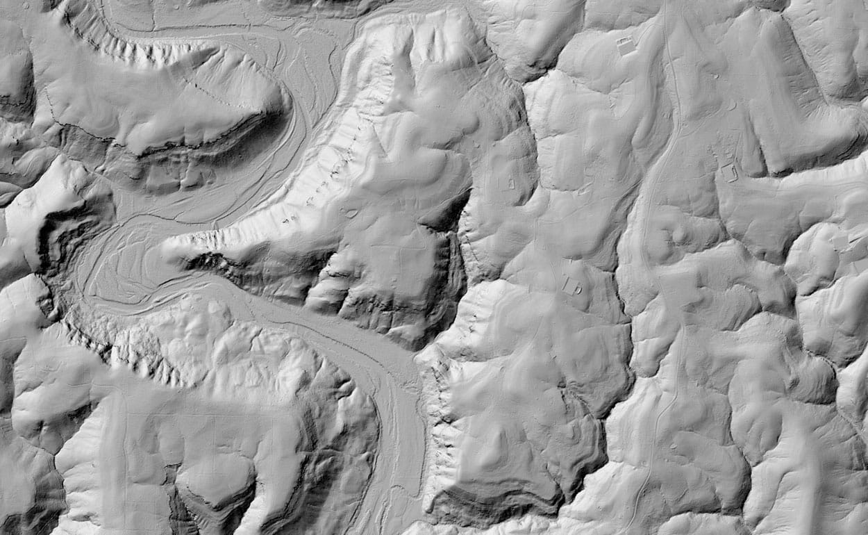
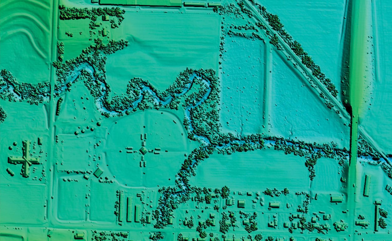
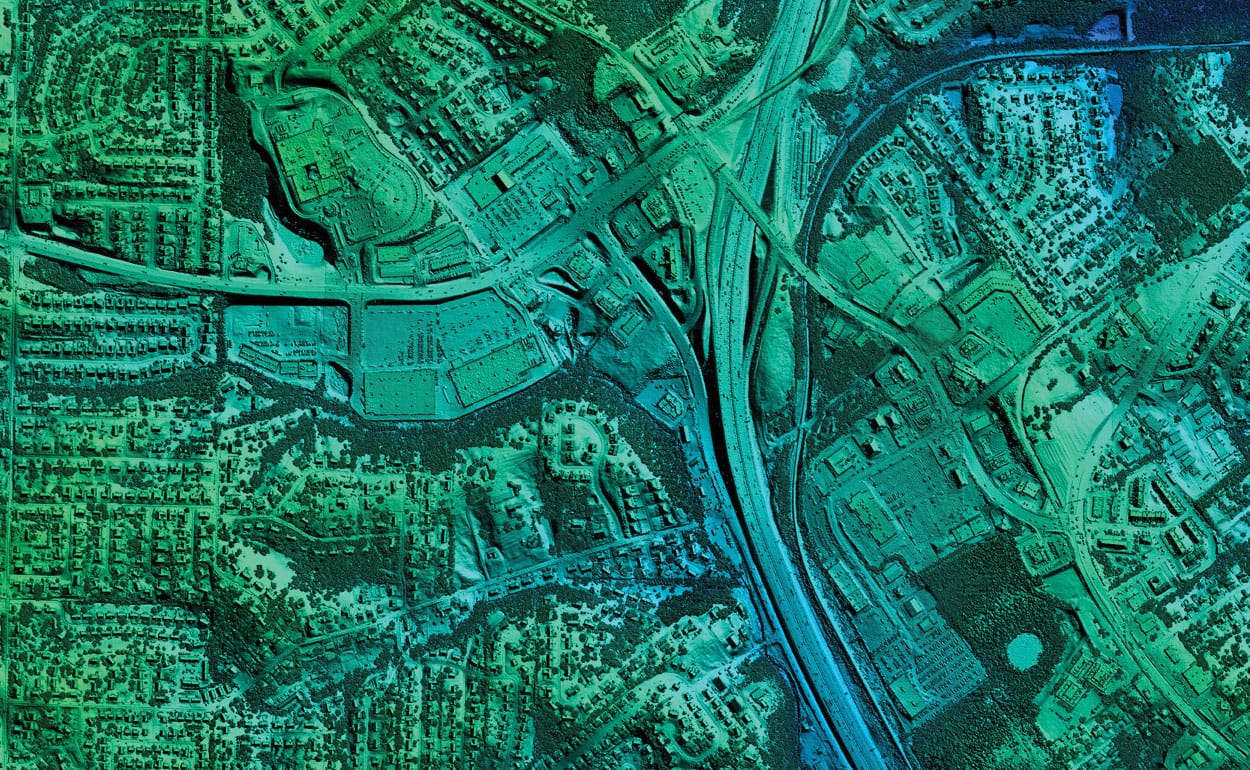
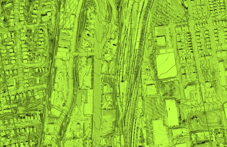
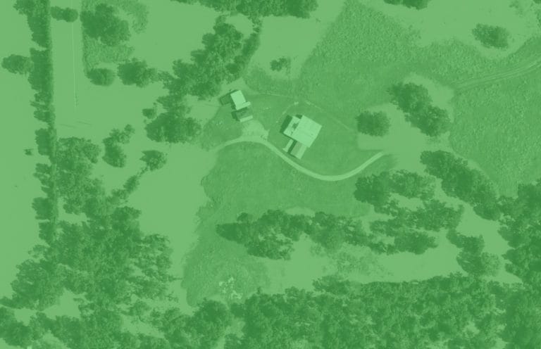
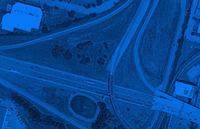
LiDAR Samples