USDA Awards Surdex Corporation 5-Year PINE Geospatial Award
Posted on
The U.S. Department of Agriculture (USDA) has consolidated several of its major geospatial programs under one new Blanket Purchase Agreement (BPA) called the PINE Aerial Imagery contract. As one of the award recipients, Surdex Corporation will provide geospatial services under five Farm Production and Conservation (FPAC) programs:
- National Agriculture Imagery Program (NAIP), a state-based orthoimagery program acquiring imagery during peak agricultural growing seasons.
- National Resource Inventory (NRI), a multi-agency, state-based program of high-resolution orthoimagery for the National Resource Conservation Service (NRCS).
- Stewardship Lands Inventory (SLI), an easement-based collection program for high-resolution orthoimagery supporting NRCS conservation easement programs.
- Resource, for collection of high-resolution orthoimagery for the USFS.
- Ad hoc and Disaster Support, which covers small to medium-sized areas identified for various USDA projects.
The 5-year PINE contract is being administered through the General Services Administration’s (GSA) Multiple Award contract vehicle and will operate through mid-November of 2026.
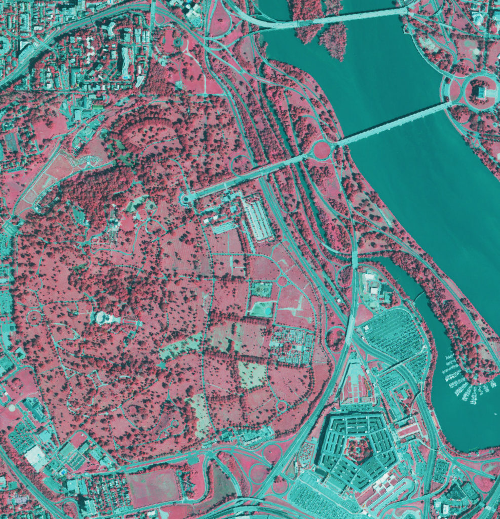
(Image: NAIP 2021 60cm resolution imagery over Arlington National Cemetery displayed in color infrared)