USGS River Dye Imagery
Posted on
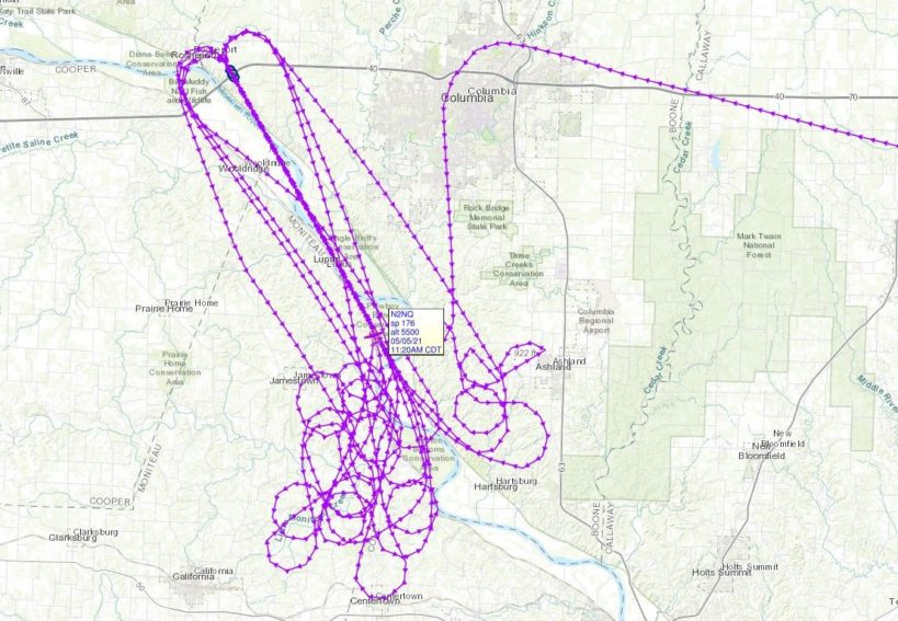
Last Wednesday, May 5th, as part of their study of the endangered pallid sturgeon the USGS released dye into the Missouri River southwest of Columbia, Missouri. Surdex was contracted to acquire imagery of a 7-mile stretch of the river precisely every 20 minutes with a total of 8 passes while the dye flowed down the river. The imagery will provide insight into sturgeon larvae movement and habitability of the river. This image shows the flight path of Surdex aircraft capturing the project data.
To read more about the USGS study, check out this link: https://www.usgs.gov/news/media-alert-portions-missouri-river-change-color-temporarily-usgs-releases-dye-study-endangered