Tracking Smoke to Reroute Aircraft
Posted on
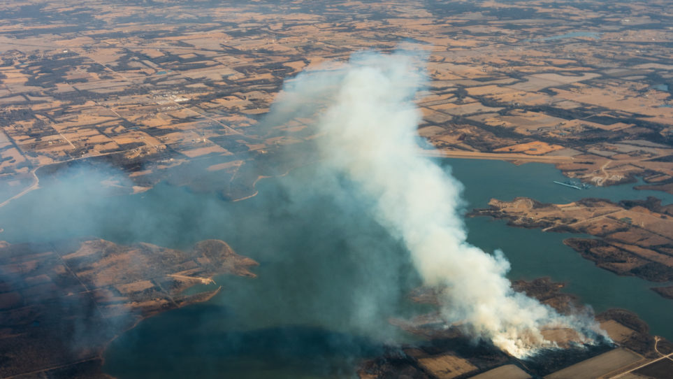
In 2020, the Southwest experienced extensive forest fires that adversely affected aerial collection. For smaller man-made fires, such as house fires or agricultural burns, the affected area is ordinarily small and dissipates quickly, and flight crews can shift collection briefly. For forest fires, where the areas are much larger, can burn for weeks, and the smoke can affect visibility for hundreds of miles.
To help crews manage such instances, Surdex’s Research and Development team developed new tools within our Flight Tracker program to monitor major smoke events. Improvements like this in our weather monitoring tools ensure that Surdex is at the leading edge of planning around all types of weather conditions, including smoke.