MSDIS Adds NAIP 2020 Imagery to Site
Posted on
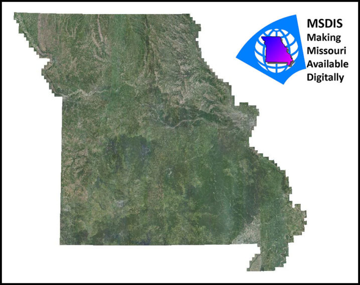
Missouri Spatial Data Information Service (MSDIS) has recently added 2020 USDA National Agriculture Imagery Program (NAIP) imagery to their site—click here to check it out: https://moimagery.missouri.edu/arcgis/rest/services/MSDIS/NAIP2020/ImageServer
Surdex is proud to have produced NAIP imagery for Missouri once again in 2020, and we are excited that MSDIS is making this data easily accessible to everyone. This imagery is 60cm resolution and was flown between early June and mid-August.
MSDIS, which is run by the Geography Department at the University of Missouri – Columbia, connects users to a wealth of geospatial data including imagery, lidar data, and planimetric data.