Flooding Imagery Uploaded within Three Days
Posted on
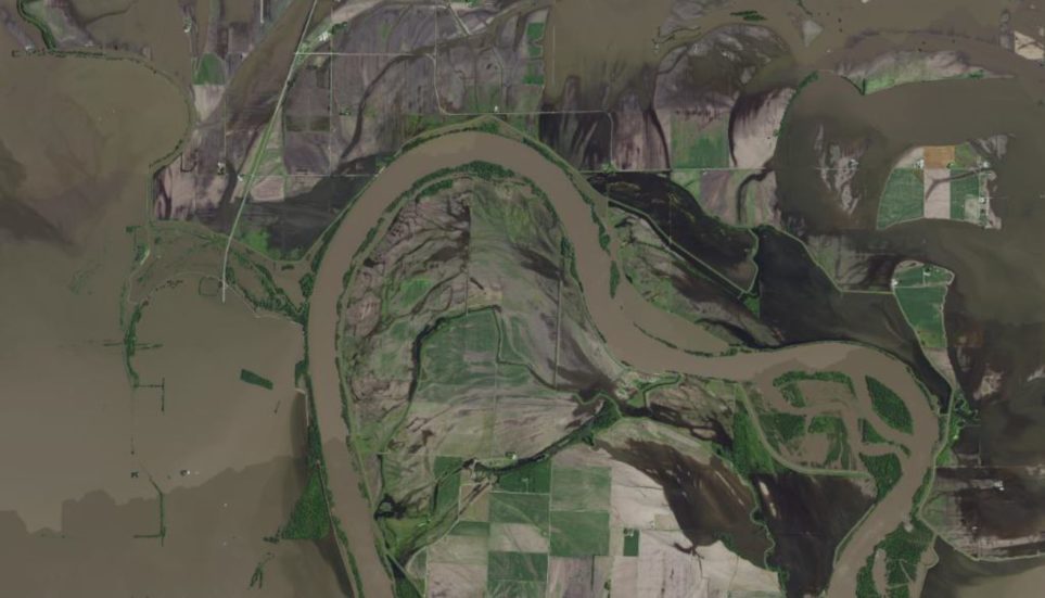
In the spring and summer of 2019, Surdex completed five river flooding projects for the U.S. Army Corps of Engineers (USACE) in St. Louis. These projects included a total of approximately 12,000 square miles of 1’ Ground Sample Distance (GSD) orthoimagery of portions of the Missouri, Mississippi, Illinois and Arkansas rivers. Our specialized disaster mapping workflow enabled Surdex to post minimally processed imagery to a web service within three days of acquisition for these projects. This data enabled enhanced assessment of flood damage by civil authorities and first responders.
NOTE: disaster mapping imagery is flown under relaxed acquisition conditions and therefore does not meet standard orthoimagery quality specifications.