Department Focus: 3D Mapping – Lidar
Posted on
The 3D Mapping department consists of three groups: lidar, compilation and finishing (GIS). The 3D Mapping department is headed by the Director of 3D Mapping, Brad Barker, who has been with Surdex for 22 years. Our compilation and finishing groups will be highlighted in the next department focus post.
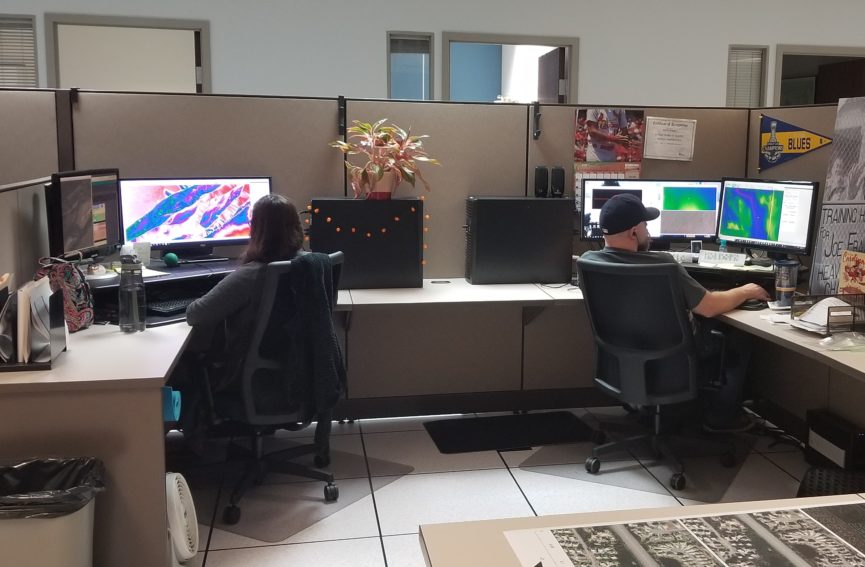
The lidar group performs the processing and classification of lidar point cloud data. Point classification is the process of assigning each lidar point to a classification, deeming them to be ground, vegetation, buildings etc. The lidar group is headed by the Lidar Product Leader, Michael Goymerac, who has been with Surdex for four years. The group consists of five Lidar Analysts and Technicians and a Lidar Technology Engineer I.
The lidar group thinks that urban areas—including the St. Louis arch—are some of the most interesting features to view in lidar. When asked what they have learned in their role that was surprising or interesting, here is what the lidar staff said:
Devin Hurst: The wide varieties of applications for lidar technology.
Patrick Palmer: The high level of detail in the Lidar imagery. For example, when comparing lidar images to google maps images, I can recognize small features such as shrubs, cars, light poles, etc. that match up exactly between both the images.